

The Cambrian Way — Across the Wild Heart of Wales
This is Wales from mountain spine to market town, a ribbon of road that rises through slate-grey passes, skims ancient forests and drops into valleys where rivers write their names in silver. Steam whistles echo, red kites wheel overhead, and hilltop cairns watch the light turn honey over the Beacons. The Cambrian Way invites you to take the scenic line between North and South: fewer miles, more moments.
Beginning on the Conwy coast and finishing in the capital, this 5-day route keeps daily drives short and scenic so you can wander trails, pause at viewpoints and linger over good food in characterful towns. Pack sturdy shoes, an appetite for cafés and castles, and let the backbone of Wales lead you on.
Distances/times are approximate and exclude stops. Mountain passes can be narrow and exposed; allow extra time in peak season and poor weather.
The Cambrian Way — 5 Days Through the Spine of Wales
From Conwy to Cardiff via Eryri (Snowdonia), Mid Wales and Bannau Brycheiniog (Brecon Beacons). Daily start and end points match the blue route on the maps.
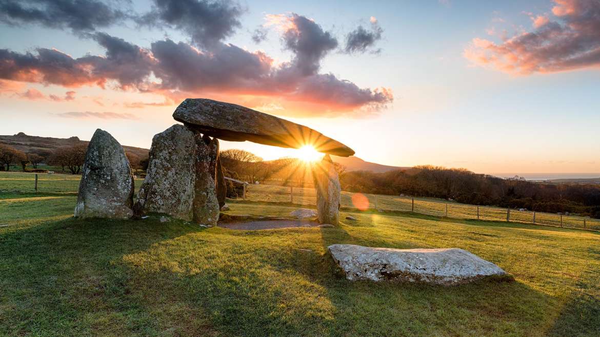
Day 1 · Conwy → Dolgellau (via Betws-y-Coed & Blaenau Ffestiniog)
Route & mapOvernight: Dolgellau
Stroll stone lanes around Eldon Square, dine in a cosy pub, and watch the evening light on Cadair Idris. Options for a short riverside walk on the Mawddach Trail.
Day 2 · Dolgellau → Rhayader (via Machynlleth & Devil’s Bridge)
Route & mapOvernight: Rhayader
Gateway to the Elan Valley by evening light, with village pubs and easy access to dam viewpoints. Look up for red kites on the approach.
Day 3 · Rhayader → Hay-on-Wye (via Elan Valley & Llandrindod)
Route & mapOvernight: Hay-on-Wye
Bookshops, cafés and sunset over the Wye. In the morning, a short climb on Hay Bluff rewards with sweeping views.
Day 4 · Hay-on-Wye → Abergavenny (via Brecon & Pen y Fan)
Route & mapOvernight: Abergavenny
Excellent dining scene and a handsome market town feel, with evening wanders to Castle Meadows or a quick viewpoint on the Blorenge road.
Day 5 · Abergavenny → Cardiff (via Blaenavon & Taff Valley)
Route & mapDriver Notes — The Cambrian Way
Times are approximate in light traffic and exclude stops. Mountain and moorland roads can be narrow; check weather, visibility and livestock on the road.
Indicative legs & highlights
- Day 1: Conwy → Betws-y-Coed → Blaenau Ffestiniog → Dolgellau.
- Day 2: Dolgellau → Machynlleth → Bwlch Nant yr Arian → Devil’s Bridge → Rhayader.
- Day 3: Rhayader → Elan Valley → Llandrindod → Builth Wells → Hay-on-Wye.
- Day 4: Hay-on-Wye → Brecon → Storey Arms (Pen y Fan) → Crickhowell → Abergavenny.
- Day 5: Abergavenny → Blaenavon (UNESCO) → Taff’s Well → Cardiff.
Routes are snapped to public road data where possible. Always follow local signs and check live traffic and weather conditions.
Book Your Accommodation
Use the map to find places to stay near each stop on this 5-day route.
If you book your accommodation via this page, Discover Wales may earn a small commission at no extra cost to you. These contributions help us maintain the site and keep it free for all visitors.
For full details, please read our Affiliate & Advertising Disclosure.